Maps
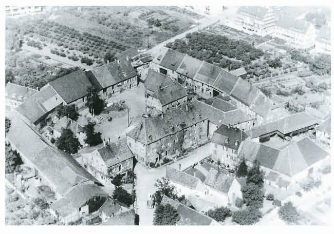
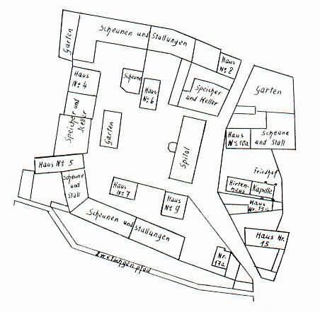
The Farm Complex - Layout ca. 1900
The Border Stones and Monument Stones of the Farm complex where marked with two crossed Keys. In the 30's of the 20th Century there was still such a stone in the Wall along the Plum Path. (This Path went from Hölzelweg along the Spitalbach to the Römerstraße. Plum Trees lined this Path and was used as a shortcut to Neustadt).
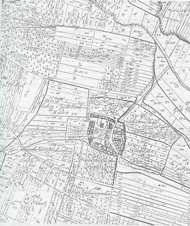
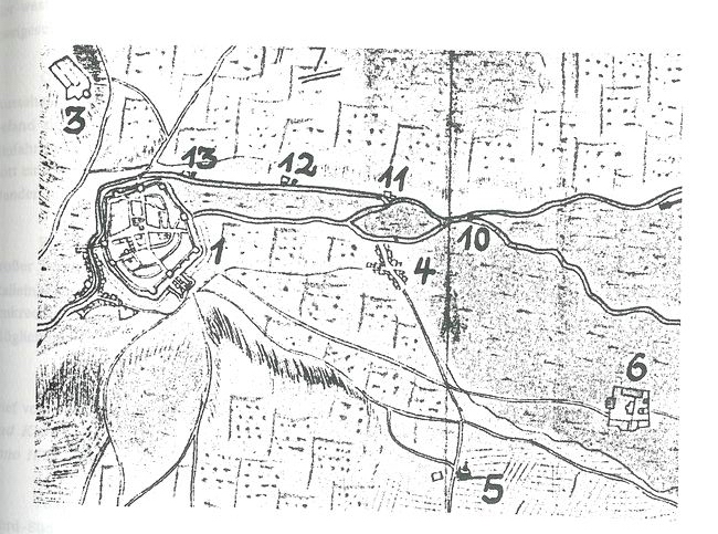
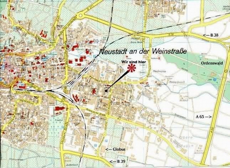
Maps from the Branchweilerhof and Neustadt an der Weinstraße